

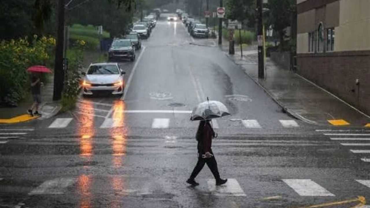
It’s been a soggy stretch across the region. Pittsburgh has picked up 6.88 inches of rain so far this month, and yesterday alone added 1.04 inches to that tally across the greater metro area.
As of Friday morning, August 21, that total puts the city in 8th place for the wettest August on record. The heaviest rain fell in southern Allegheny County, just south of I-70, where radar estimates put totals at three inches or more over a fairly wide stretch. Washington County saw some of the biggest numbers of all, with the Cokeburg-to-Fallowfield corridor picking up close to 3.5 inches.
The good news for anyone tired of the wet ground: the rest of the month should be much quieter on the rain front, aside from one more system moving through this weekend.
Saturday Looks Like the Main Event
A cold front arrives Saturday, bringing scattered afternoon showers that build through the day and turn more widespread by evening, especially for areas east of the city. National Weather Service data shows Saturday’s high reaching into the low-to-mid 80s with roughly a 30 to 40 percent chance of rain, mostly concentrated in the afternoon and evening hours.
The region sits under a marginal risk for severe weather both Saturday and Sunday, though Saturday carries the greater threat. Damaging straight-line winds are the top concern, with large hail also possible — a reminder that late August tends to bring a secondary hail season each year. There’s a small, non-zero chance of an isolated tornado as well. Given how saturated the ground already is, any heavier downpours could quickly lead to flash flooding.
Sunday Turns Cooler and Quieter
Rain chances linger into Sunday, but this round looks much lighter — more drizzle than downpour. Highs will only reach the mid-to-upper 70s under mostly cloudy skies, with temperatures more typical of a September afternoon than late August. That cooler air moving in is actually part of why the second half of the weekend stays calmer: lower dew points and reduced moisture in the atmosphere mean the heavy, humid-driven downpours that fueled this month’s rain totals are less likely to repeat.
Your Day-by-Day Forecast
Today (Friday): Patchy morning fog gives way to sunshine, with highs approaching 80 degrees.
Saturday: Morning lows dip into the low 60s, climbing to highs in the low 80s ahead of afternoon and evening storms.
Sunday: Cooler and breezy, with highs in the low-to-mid 70s, mostly cloudy skies, and scattered drizzle.
Monday: Highs holding in the mid-70s.
Tuesday–Wednesday: A warm-up returns, with highs climbing back into the upper 70s.
After a month defined by heavy, humidity-fueled rainfall, this weekend’s front looks like the last real rain threat before drier, cooler air settles in for the remainder of August.
