

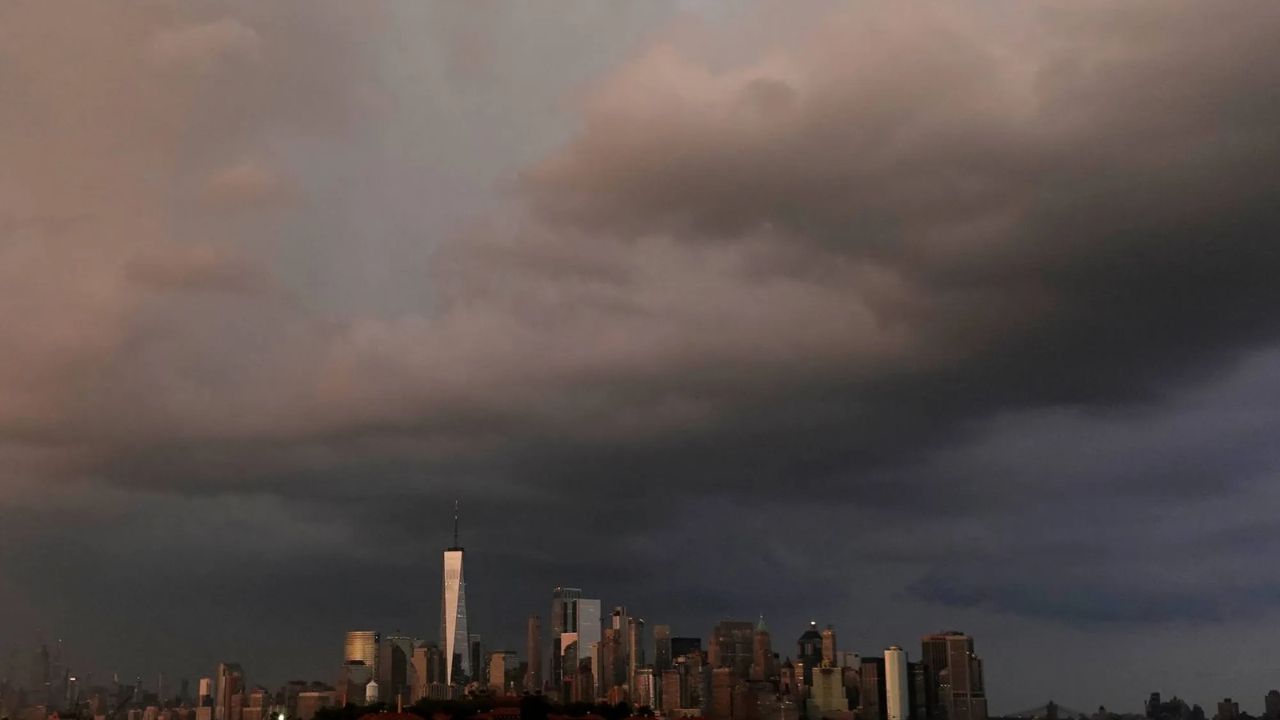
New York City and the surrounding tri-state area are bracing for another unsettled stretch of weather Thursday, with thunderstorms expected during the morning and another chance of storms later in the day.
The latest forecast calls for showers and thunderstorms in New York City through late morning Thursday, followed by a quieter period before storm chances increase again after 5 p.m. The National Weather Service puts the chance of precipitation at around 80% for the day, with locally heavier rainfall possible from thunderstorms.
The overnight period could be particularly wet. Showers are expected to increase after 2 a.m., with some thunderstorms possible as well.
Strong Storms Could Bring Several Hazards
While the exact timing and coverage of the strongest storms remain uncertain, forecasters are watching for several potential hazards across the region.
The strongest thunderstorms could produce damaging wind gusts, hail and an isolated tornado. Heavy rainfall is another concern, particularly where storms move repeatedly over the same area.
That setup could result in localized flash flooding, especially in places where drainage is poor or several rounds of rain arrive in a short period.
The National Weather Service’s latest regional forecast continues to describe Thursday’s severe-weather threat as conditional, meaning the eventual strength of the storms will depend on how much the atmosphere destabilizes during the day.
Heat and Humidity Return Thursday
Storms won’t be the only weather concern.
Thursday is expected to turn hot and humid after the morning activity. Temperatures across the broader region could climb into the upper 80s and 90s, while high humidity pushes heat-index values well into the 90s in parts of New Jersey and the Mid-Atlantic.
A Heat Advisory remains in effect for portions of southeastern Pennsylvania and New Jersey, with the advisory area expanded farther south because of the potential for heat-index values near 105 degrees in parts of Delmarva.
For New York City, the latest point forecast calls for a high around the mid-80s Thursday. Heat-index values could make conditions feel warmer than the actual temperature, particularly during breaks between storms.
NYC Forecast Improves Heading Into Labor Day Weekend
The weather pattern is expected to become noticeably calmer after Thursday.
Friday could still bring a few showers, but the probability is much lower in New York City, with mostly sunny conditions expected for much of the day. By Saturday, the forecast turns sunny, with temperatures near 80 degrees.
Sunday is also expected to remain mostly sunny and cooler, followed by another sunny day around Labor Day.
The broader regional forecast calls for lower humidity and mostly dry conditions over the Labor Day weekend as the frontal boundary moves south and cooler, drier air settles across the Northeast.
For residents across New York City and nearby areas, the biggest weather concerns Thursday will be the potential for strong thunderstorms, sudden heavy rainfall and brief periods of dangerous conditions. Because storm timing can change quickly, updated watches and warnings will be important if severe weather develops.
