

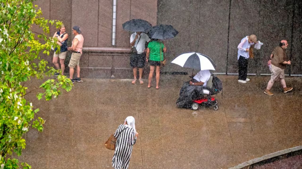
Philadelphia and parts of the surrounding region are facing a heightened risk of heavy rain, thunderstorms and flooding Thursday, with the National Weather Service issuing a Flood Watch from noon Thursday through 4 a.m. Friday.
The unsettled weather comes after several quieter and warmer days across the region. Showers and thunderstorms could develop at different points Thursday, with the greatest concern coming from periods of heavier rainfall and storms later in the day.
Heavy rain and thunderstorms could affect Philadelphia
The latest National Weather Service forecast calls for a 70% chance of precipitation in Philadelphia on Thursday. Showers and thunderstorms are possible before 1 p.m., followed by a higher likelihood of showers and potentially another thunderstorm between 1 and 4 p.m. Additional storms could develop later in the afternoon and evening.
The biggest concern is not simply the number of showers, but how much rain could fall in a short period. The National Weather Service estimates that around 1 to 2 centimeters of rain could fall in Philadelphia during the day, with locally higher amounts possible in thunderstorms.
That raises the possibility of rapid water accumulation and localized flooding, particularly in areas that receive repeated downpours.
A Flood Watch is currently in effect for Philadelphia from 12 p.m. Thursday until 4 a.m. Friday, meaning conditions could develop that lead to flooding during that period.
Severe storms are also possible
The weather setup could produce more than heavy rain.
The National Weather Service says scattered strong to severe thunderstorms are possible across parts of the Northeast on Thursday. Damaging winds, hail and an isolated tornado are among the potential hazards.
For the Philadelphia area, residents should be prepared for rapidly changing conditions as thunderstorms move through. Gusty winds, frequent lightning and intense rainfall could make travel more difficult, especially during the afternoon and evening.
The threat is expected to ease overnight, although showers and thunderstorms could continue into Thursday night. Philadelphia has a 60% chance of precipitation Thursday night, with most thunderstorms expected before 10 p.m.
Friday brings a quick improvement
The weather pattern is expected to become more favorable Friday.
A few showers could linger early Friday morning, but the National Weather Service expects conditions to become mostly sunny later in the day. The high temperature is forecast to reach about 86 degrees in Philadelphia, with only a 30% chance of additional showers.
The weekend is currently looking considerably calmer.
Saturday is forecast to be sunny with a high near 86 degrees, while Sunday should remain mostly sunny with temperatures reaching around 88 degrees in Philadelphia.
Heat returns next week
The break from unsettled weather may not last long.
Temperatures are expected to climb again early next week. Philadelphia could reach around 90 degrees Monday, followed by a high near 93 degrees Tuesday. Wednesday is forecast to remain warm, with a high around 92 degrees and a 30% chance of showers.
For now, Thursday is the day that deserves the most attention. Residents should keep an eye on updated weather alerts, especially before traveling during the afternoon and evening when thunderstorms and heavy rainfall are expected to become more likely.
Philadelphia 7-Day Weather Outlook
- Thursday: Showers and thunderstorms possible; Flood Watch. High near 86°F.
- Friday: Early showers possible, then mostly sunny. High near 86°F.
- Saturday: Sunny. High near 86°F.
- Sunday: Mostly sunny. High near 88°F.
- Monday: Mostly sunny and warmer. High near 90°F.
- Tuesday: Mostly sunny and hot. High near 93°F.
- Wednesday: Mostly sunny with a chance of showers. High near 92°F.
For anyone heading out Thursday, the safest approach is to allow extra travel time, avoid flooded roadways and check the latest warnings before leaving. Weather conditions can change quickly when thunderstorms move into the region.
