

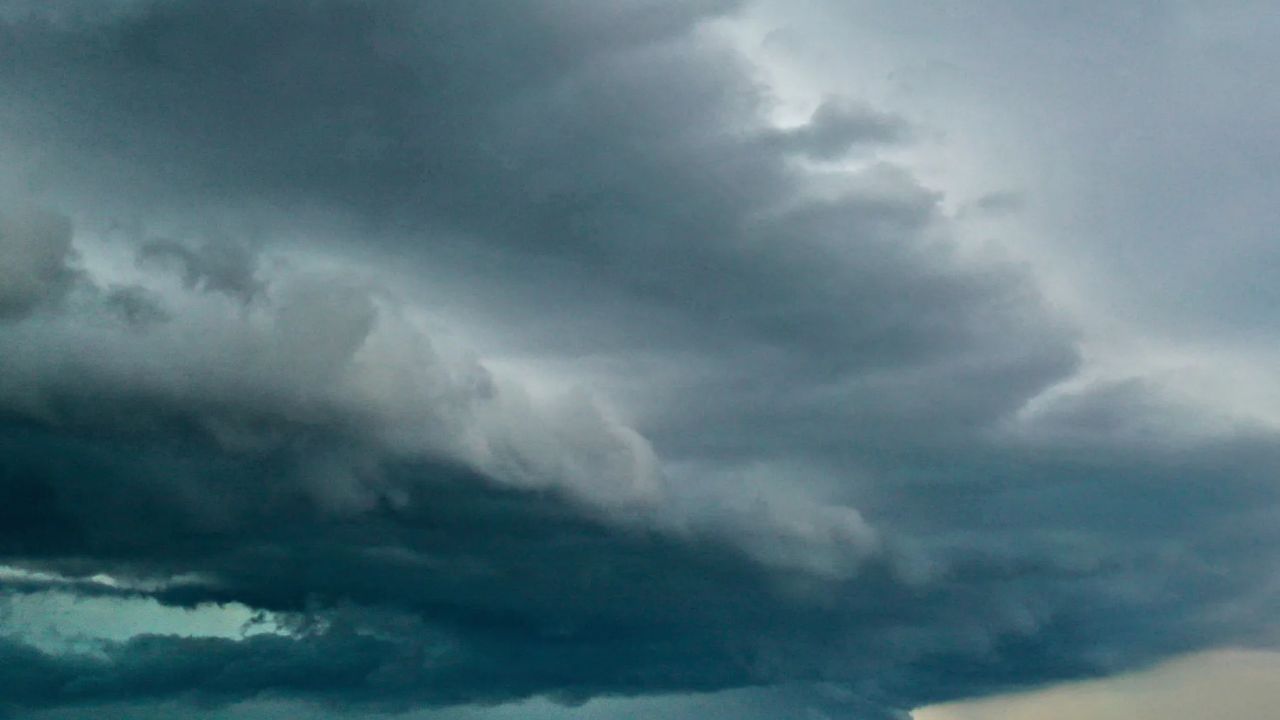
Maryland is heading into a more unsettled weather pattern Thursday, with scattered thunderstorms capable of producing heavy rain, gusty winds and frequent lightning.
The National Weather Service has been highlighting an increasing risk of strong thunderstorms as warmer and more humid air moves into the region. Forecast timing has some uncertainty, but the greatest concern is during the afternoon and early evening.
For Baltimore and surrounding areas, Thursday’s forecast calls for a chance of showers and thunderstorms, with the possibility of some storms becoming severe. The National Weather Service forecast puts the chance of precipitation around 70% and calls for afternoon temperatures near the upper 80s.
Storm threat arrives as the Maryland State Fair opens
The timing is particularly important because the 2026 Maryland State Fair begins Thursday, August 27, at the fairgrounds in Lutherville-Timonium.
The fair’s official schedule lists public hours from 5 p.m. to 9 p.m. Thursday. That places the opening evening within the period when thunderstorms could still affect parts of the Baltimore area.
The storms are expected to be scattered rather than a continuous washout across the entire state. That means some communities could see a downpour or thunderstorm while nearby areas remain dry.
For people attending outdoor events, the main concerns will be lightning, brief periods of heavy rain and sudden wind gusts. Conditions can change quickly when thunderstorms develop, so checking the latest forecast before heading out will be especially important.
Thursday could feel hotter than the thermometer
Temperatures are expected to climb into the mid-to-upper 80s Thursday, but increasing humidity will make conditions feel warmer.
The more humid air is also helping create a more favorable environment for thunderstorms. The National Weather Service has identified the combination of increasing warmth and humidity as a key factor behind Thursday’s storm threat.
A few showers may develop before the main afternoon storm window, but the greater concern comes later in the day as additional thunderstorms become possible.
Friday looks better for the Ravens
The weather picture improves for Friday, when the Baltimore Ravens are scheduled to host the Washington Commanders in their final preseason game.
The game is set for 6 p.m. Friday, August 28, at M&T Bank Stadium. The Ravens enter the matchup 2-0 in the preseason after wins over Philadelphia and Minnesota.
Baltimore also held a joint practice with Washington on Wednesday ahead of the preseason finale, adding another local storyline to the matchup.
The latest forecast outlook suggests Friday should be less unsettled than Thursday, although isolated showers or storms cannot be completely ruled out.
A quieter weekend is ahead
After Thursday’s storm threat, the overall weather pattern is expected to become more favorable for the weekend.
Saturday is currently shaping up to be mainly manageable, while Sunday carries a better chance for an isolated afternoon or evening shower or thunderstorm.
Temperatures should remain in the 80s through the weekend. Longer-range forecasts also point toward a return of hotter weather next week, with temperatures potentially climbing into the 90s.
For Thursday, however, the main message is straightforward: storms will be scattered, but some could become strong. Anyone traveling during the afternoon or attending the opening night of the Maryland State Fair should keep an eye on updated weather information, particularly as thunderstorms begin to develop.
